CheckPhoto and Check GIS- 3D Documentation of Underground Utilities in Tbilisi
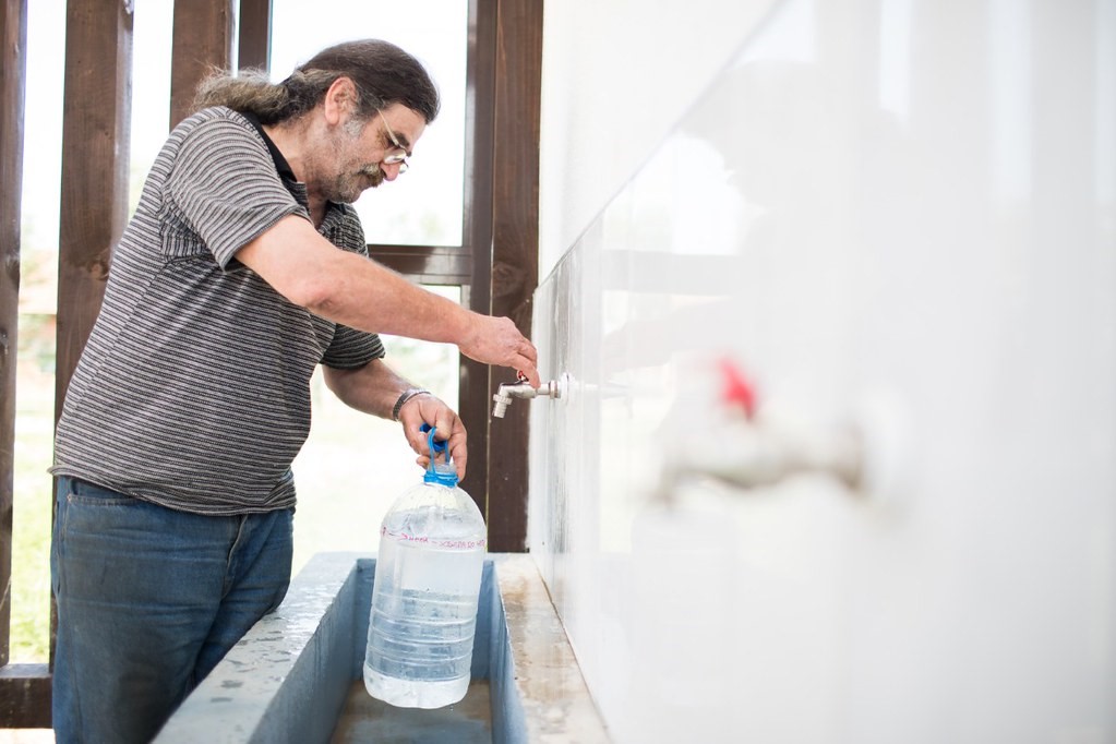
The digital 3D documentation of water pipes is essential for its maintenance and repairing of defects, as it allows precise assessment of the nearest surroundings, other cables, and gas pipes laid around to prevent any potential damage and also this in general makes the work more efficient. However, in Tbilisi, the documentation is done at random in a simplified manner and the 3D mapping is completely lacking.
The project aims to change the situation by the introduction of the CheckPhoto and CheckGIS technologies, which allows for efficient documentation of the position of water pipes during the development of new water ducts or repairs of the existing ones. By streamlining the documentation, the project will allow for easier and faster maintenance of the water network and improved services to citizens.
The project is managed by CheckTerra, a company specializing in photogrammetry, geoinformatics, and geodetic surveying.
Deliverables:
SDGs relevant to the project: