Modernizing the geo-hazard assessment in Georgia
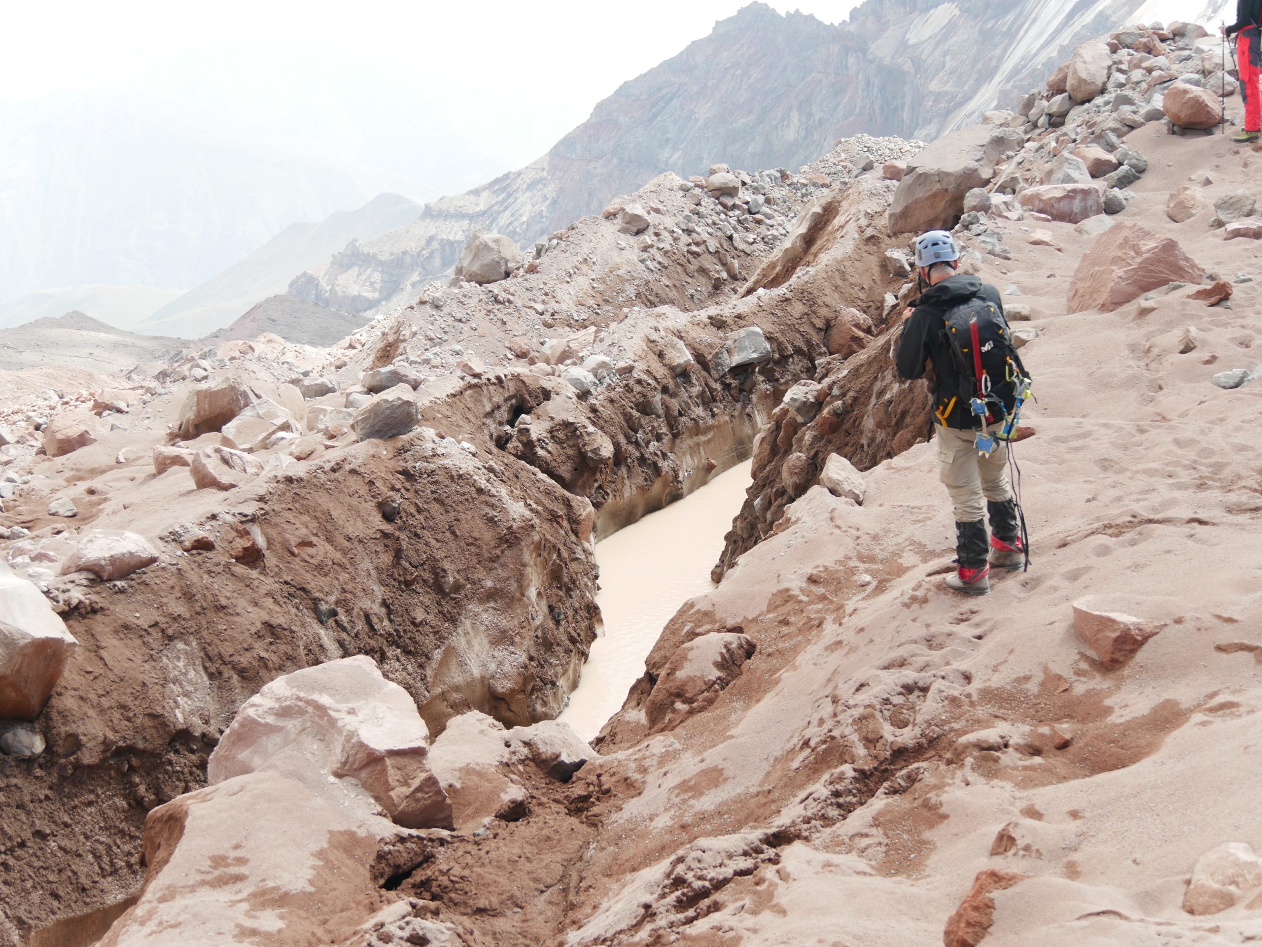
Czech Geological Survey implements its project together with the National Environmental Agency. The aim of this project is to modernize geo-hazard assessment in Georgia with focus on the Pirikita Khevsureti region, particularly along a vital but landslide-prone road.
By combining automated satellite data processing with traditional landslide mapping and geology techniques, the project creates a unique toolbox tailored for the North Eurasia region. This approach utilizes freely available data resources in the cloud, such as Sentinel-2 satellite data and global rainfall information, improving the accuracy and efficiency of geological hazard assessment and mapping. Beneficiary of the project is the agency responsible for mitigation of natural risks and hazards in Georgia.